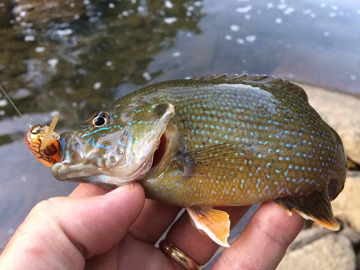
Anglers can use Google Earth to find panfish, bass and other species.
Bob Frye/Everybody Adventures
Waterfowl hunters – at least those in the know — use Google Earth all the time to find hidden beaver ponds and other watery holes where wood ducks and other birds might be.
Fishermen can make use of the web-based application, too, though.
It’s great for finding farm ponds, small lakes and other waters – some of which can hold big bass, chunky panfish and overlooked catfish – close to home.
Most will be underfished. Some may never see an angler.
A few will be duds, full of stunted fish. But others will hold really big specimens.
You’ve got to get on them to find out which are which.
Here’s how to do it.
Launch the site here using Google Chrome. You can then zoom in on the globe to get to your area, or type a town name into the search bar. That will bring you to its location on the map.
From there, look around.
A lot of times, focusing on open areas – what are obviously fields, with little development – will reveal farm ponds. Sometimes they’re active farms; other times they’re reverting ones.
All have potential.
Don’t overlook housing plans, though. Sometimes, what is a housing plan now was a farm not all that long ago. Sometimes, ponds remain.
Whenever and wherever you find something that looks promising, take a ride, talk to a landowner and see whether you can get permission to get on the water.
And in the meantime, don’t overlook Google Earth for exploring more obvious waters, or even ones that you’ve fished, but don’t know completely.
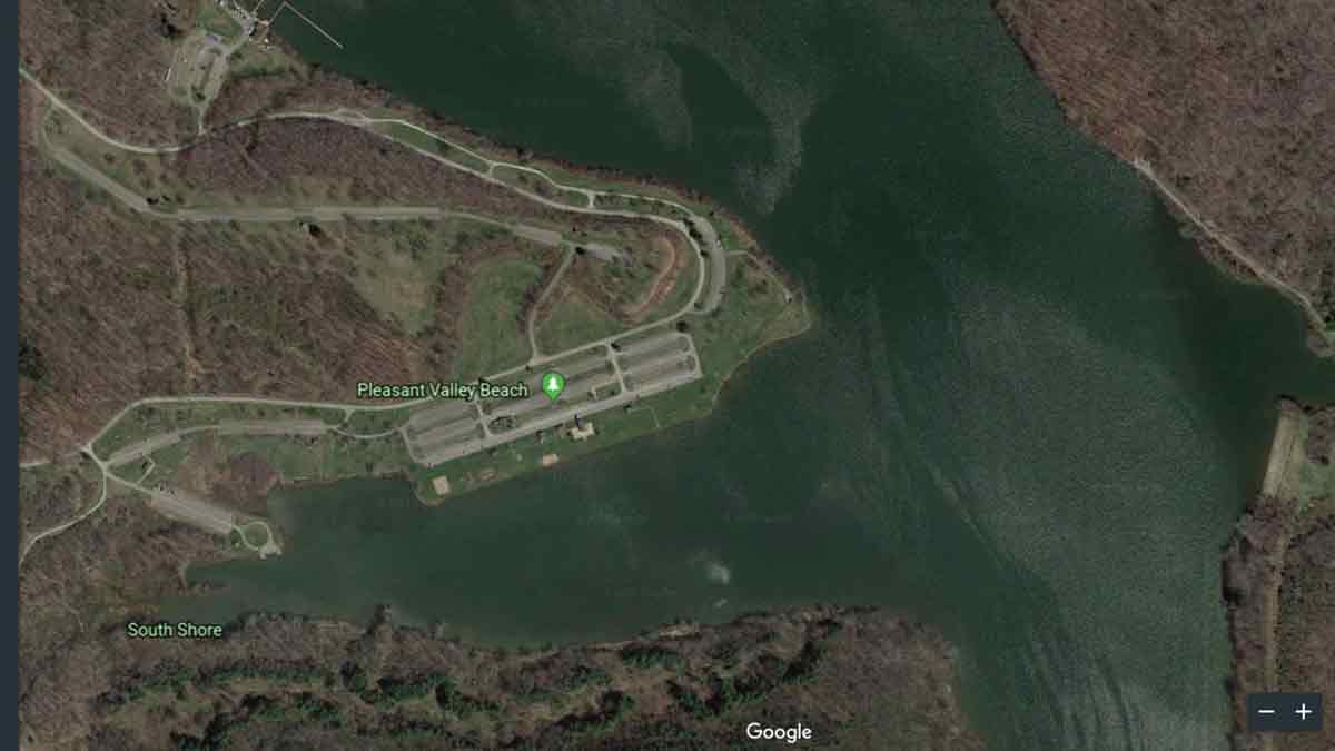
For example, go to Lake Arthur at Pennsylvania’s Moraine State Park. You’ll notice the satellite view shows the water as different shades in different areas.
That’s telling.
The lighter the color, the shallower the water. The darker the color, the deeper the water.
That can tell you where points, shelves and other changes in depth occur.
At times, the satellite view will even show weeds such as lily pads if they’re abundant and dense enough.
So explore a bit and see what you find. That lunker from a secret spot – or even one hidden in plain site — may be waiting.

Google Earth images in satellite mode, like this one of a portion of Lake Arthur in Moraine State Park, give a hunt as to water depths.
Image from Google.


